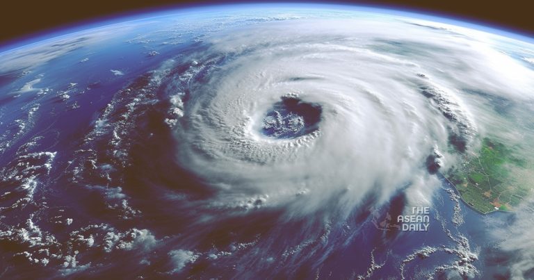
27-5-2023 (Manila) The weather bureau in the Philippines has raised Signal No. 1 in parts of Northern Luzon as Super Typhoon Betty (Mawar) accelerates towards the region. The move is intended to provide the affected areas with 36 hours to prepare for the strong winds expected. As of Saturday morning, May 27, Betty was located 1,170 kilometers east of Central Luzon, moving at a speed of 30 kilometers per hour.
According to the Philippine Atmospheric, Geophysical, and Astronomical Services Administration (PAGASA), the super typhoon has maintained its strength, with maximum sustained winds of 195 km/h and gustiness reaching up to 240 km/h. Although landfall is unlikely, the size of the typhoon is expected to have an impact on Northern Luzon.
Signal No. 1 has been raised in several areas, including the eastern part of Cagayan (Santa Ana, Gonzaga, Lal-lo, Gattaran, Baggao, Peñablanca, Santa Teresita, Buguey) and the eastern part of Isabela (Maconacon, Divilacan, Dinapigue, Palanan, San Mariano, Ilagan City, Tumauini, San Pablo, Cabagan). These regions have been given a 36-hour lead time to prepare for the strong winds associated with Super Typhoon Betty.
PAGASA has also highlighted that the southwest monsoon, or habagat, which will be enhanced by the super typhoon, may bring “strong breeze to near-gale conditions with intermittent gusts” to the Visayas, eastern parts of Central Luzon and Southern Luzon, and the northern and eastern parts of Mindanao starting from Sunday evening, May 28, or early Monday, May 29.
The weather bureau maintains its forecast of rainfall from Betty, with rain expected to begin on Monday. The projected rainfall amounts are as follows:
- Monday morning, May 29, to Tuesday morning, May 30: 50-100 millimeters in Batanes, Babuyan Islands, and northern parts of mainland Cagayan, Ilocos Norte, and Apayao.
- Tuesday morning, May 30, to Wednesday morning, May 31: Greater than 200 millimeters in Batanes, 100-200 millimeters in Babuyan Islands, Ilocos Norte, Ilocos Sur, and La Union, and 50-100 millimeters in Cordillera Administrative Region and the northern part of mainland Cagayan.
PAGASA advises that the forecasted rainfall amounts are generally higher in elevated or mountainous areas and warns of potential floods and landslides.
Small vessels are advised to exercise caution or avoid sailing, if possible, in the eastern seaboards of Luzon and Visayas due to moderate to rough seas, which may become rough to very rough on Saturday. The northern seaboard of Luzon is also expected to experience moderate to rough seas.
Super Typhoon Betty is projected to maintain its west-northwest direction over the weekend before turning northwest and slowing down on Monday, located over the waters east of extreme Northern Luzon. It may then become almost stationary between late Tuesday and early Wednesday, May 31, when it will be closest to Batanes or within 250 to 300 kilometers.
In terms of intensity, Betty is expected to remain a super typhoon during the weekend. While it is likely to maintain its strength for the next 36 to 48 hours, short-term intensification cannot be ruled out, especially in the next 12 to 24 hours, according to PAGASA. However, by Monday or Tuesday, Betty may significantly weaken as it lingers over the waters east of Batanes, eventually being downgraded to a typhoon.


