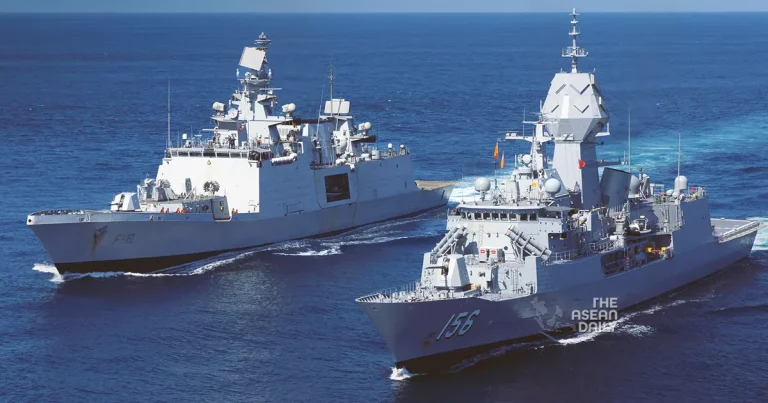
2-10-2023 (JAKARTA) Indonesian Navy’s Hydro-Oceanographic Center (Pushidrosal) and the Australian Navy (RAN) have embarked on a collaborative two-month survey of the seabed in the Timor Sea border area.
The joint survey, which commenced on September 29, marks the first-ever cooperation between the Indonesian and Australian navies in this domain. Vice Admiral Nurhidayat, Commander of Pushidrosal, stated that the survey would cover a wide area and would be conducted for two months each year, with the aim of eventually covering the entire Indonesia-Australia border.
To carry out the joint survey, the Indonesian Navy has deployed the KRI Spica-934 warship from Pushidrosal to Indonesia’s Exclusive Economic Zone (EEZ). Simultaneously, vessels from the Australian Navy and the Australian Hydrographic Agency (AHO) will navigate their own EEZ along the Timor Sea border.
Vice Admiral Nurhidayat revealed that a total of 63 personnel, including two Australian Navy representatives, have been assigned to the survey. Lieutenant Colonel Deirus Rizki Khair is leading the Indonesian naval ship, KRI Spica-934, during the joint survey. The participation of soldiers from both countries aims to ensure the survey adheres to established standards.
Throughout the survey, Indonesia and Australia will gather seabed data within their respective EEZs, including mapping the seabed, identifying sea tunnels, analyzing current patterns, and studying tidal patterns.
The first month of the survey is scheduled to conclude on October 25. The two-month duration allows for data collection during two full moon cycles, enabling the observation of low and high tides for more accurate results. KRI Spica-934 is also set to sail until it reaches Darwin, Australia, where it will remain for three days. However, due to time constraints and the significant distance, the Australian ship will not be able to approach Kupang, East Nusa Tenggara (NTT).
Vice Admiral Nurhidayat clarified that while the two countries will exchange data, only general information will be shared, and specific data pertaining to the five-meter layer below the seabed (sub-bottom profile) will remain under the control of each respective country.
The survey data will be utilized to create underwater maps, particularly for the border areas between Indonesia and Australia. These maps will be instrumental in navigation for commercial ships and various construction activities, including the installation of cable and pipe networks on the seabed for telecommunications and internet purposes, added Vice Admiral Nurhidayat.
View this post on Instagram


