20-3-2024 (HANOI) China’s unilateral move to define a new territorial boundary in the Gulf of Tonkin, which it shares with Vietnam, has sparked worries across the region that Beijing could employ similar tactics in the contested South China Sea.
Earlier this month, the Chinese government announced seven coordinates delineating straight baselines from which its territorial waters in the Gulf of Tonkin, referred to as the Beibu Gulf domestically, would be measured. This marks a departure from the previous approach of using the low-water line along China’s curving southern coastline to calculate its maritime borders in accordance with the United Nations Convention on the Law of the Sea (UNCLOS).
Under the new demarcation, China’s territorial sea now extends 12 nautical miles outward from the straight lines connecting the seven points – a move some analysts contend could expand Beijing’s claimed maritime zone. Chinese officials maintain the revised baselines align with UNCLOS provisions permitting straight lines in certain circumstances, as well as a 2000 delimitation agreement with Vietnam governing the Gulf of Tonkin.
China Asserts Rights Over New Maritime Zone In a statement on social media, the Chinese Foreign Ministry’s ocean affairs department asserted the country’s “legitimate and lawful right” to delineate the fresh baselines. The shift, it said, represented “an important part of China’s efforts” to uphold its sovereignty, facilitate economic development for coastal provinces like Guangxi and Hainan, and progress toward Beijing’s “strategic goal of building a strong maritime power.”
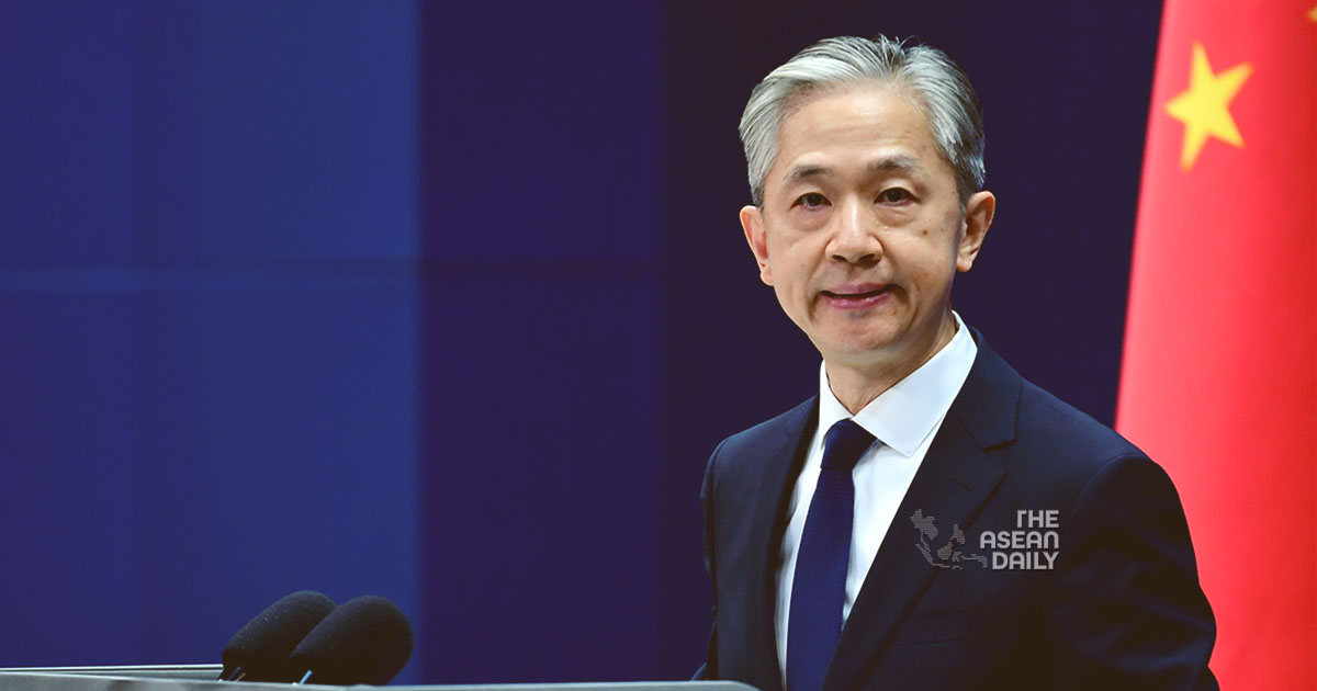
At a press briefing on Friday, Chinese Foreign Ministry spokesperson Wang Wenbin echoed that stance, saying the new demarcation fell squarely within China’s rights under international law.

The 2000 agreement between China and Vietnam divided the Gulf of Tonkin, with Hanoi controlling 53.23% of the waters and Beijing 46.77%. It also established a joint fisheries regime. While declining to comment directly on the potential impact to that two-decade-old accord, Vietnam’s Foreign Ministry insisted “international law and the rights and interests of other countries must be respected.”
Expansion of Chinese Control? International legal experts have raised concerns that the revised baselines could presage efforts by China to exert greater authority over the northern reaches of the South China Sea by reclassifying those waters as its internal maritime territory.
“This leads to a fairly large area that was formerly China’s exclusive economic zone being converted into the territorial sea or internal waters, where it could exercise more powers under international law,” said Kentaro Nishimoto, an international law professor at Tohoku University in Japan.
There are also worries Beijing could impede the passage of foreign vessels near Hainan Island, a strategic outpost in the South China Sea. While UNCLOS guarantees rights of innocent passage and transit through territorial waters, Nishimoto cautioned that “if China adopts a different interpretation and seeks to restrict the navigation of ships in this area, this would have an impact on the navigational rights of all other states.”
Jay Batongbacal, maritime law director at the University of the Philippines Diliman, described China’s new baselines in the Gulf of Tonkin as “clearly excessive,” extending beyond the 24 nautical mile limits in some areas. He viewed the demarcation as “indicative of China’s overall attitude towards expanding its territorial claims into the sea” and “abusing its rights as a coastal state under UNCLOS.”
“This attitude of playing fast and loose with the baselines is likely going to be reflected in its future actions toward the islands in the South China Sea,” Batongbacal warned, referring to the potential for similar moves to extend China’s maritime frontiers across the strategic waterway.
Calculated Ambiguity in the South China Sea To date, Beijing has issued three sets of straight baseline coordinates defining its territorial waters – along its mainland coast, fully encircling the Paracel Islands, and surrounding the Japanese-controlled Senkaku Islands, known as the Diaoyu in China, in the East China Sea during a 2012 territorial flare-up.

However, it has yet to unveil baselines for other South China Sea islands under its control, including the Pratas, Spratlys and Macclesfield Bank. While some like Ding Duo, an associate fellow at the National Institute for South China Sea Studies, believe China is unlikely to “rush” into demarcating the Spratlys given the complex sovereignty disputes involved, the selective ambiguity fuels regional unease.
As Nishimoto observed, “Questions remain about whether a further designation for the maritime features in the South China Sea will follow in the near future” – a move that could dramatically redraw the region’s maritime map in Beijing’s favor.


